Know your flood risk
Flooding is the most frequent natural hazard in the Waikato region.
Flood protection schemes were built where river flooding caused significant damage to productive farmlands, large communities or towns, major transport routes and critical infrastructure such as water supply, power, telecommunications and roading networks. Their primary purpose is to manage river flows and flood zones during adverse weather events, and they are designed to protect against certain levels of flooding.
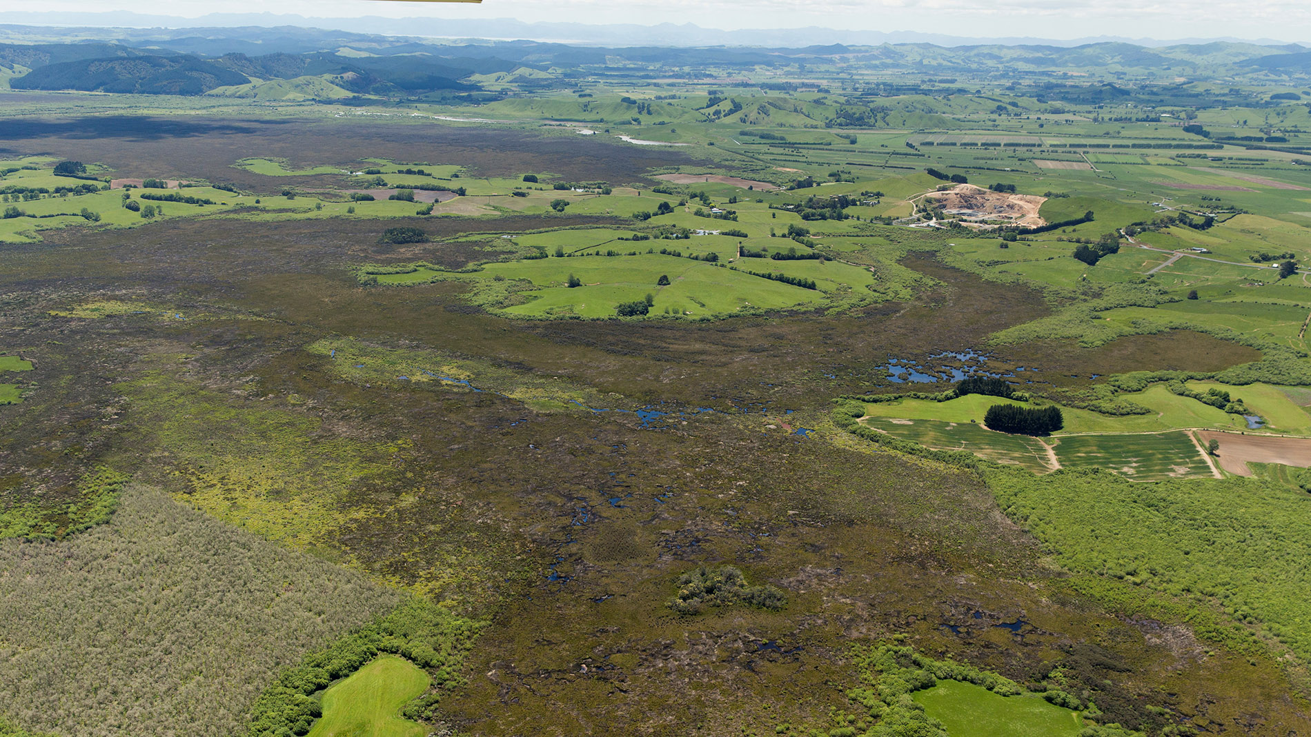
Today, more intense weather events and higher tides are putting pressure on the service levels of our flood schemes. Population growth, urban development and changes in land use are also adding to flood risk – including in areas where no flood protection schemes are in place. Increasingly, catchment and river management activities (land retirement, erosion protection and planting) are being undertaken to reduce flood impacts in catchments and downstream communities.
How flood schemes work
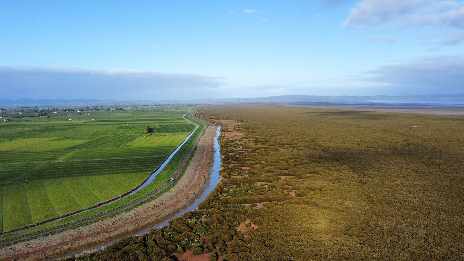
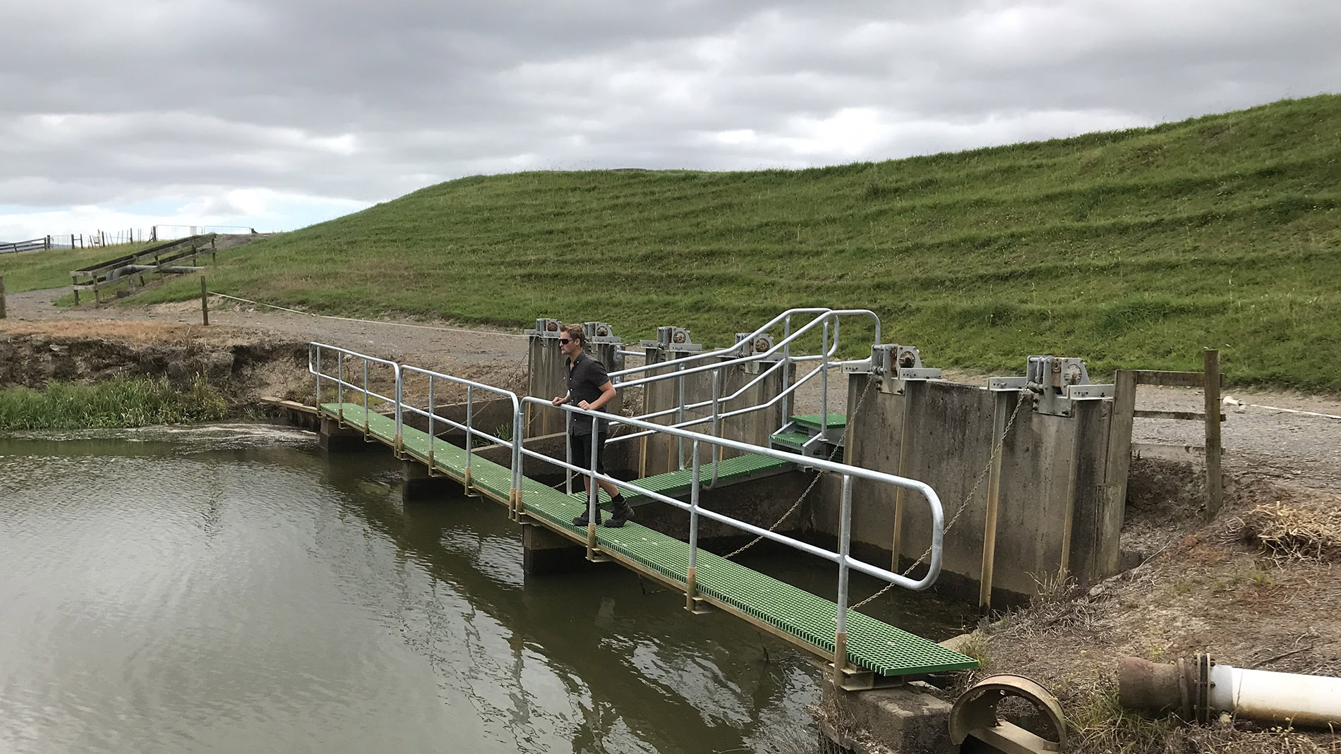
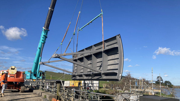
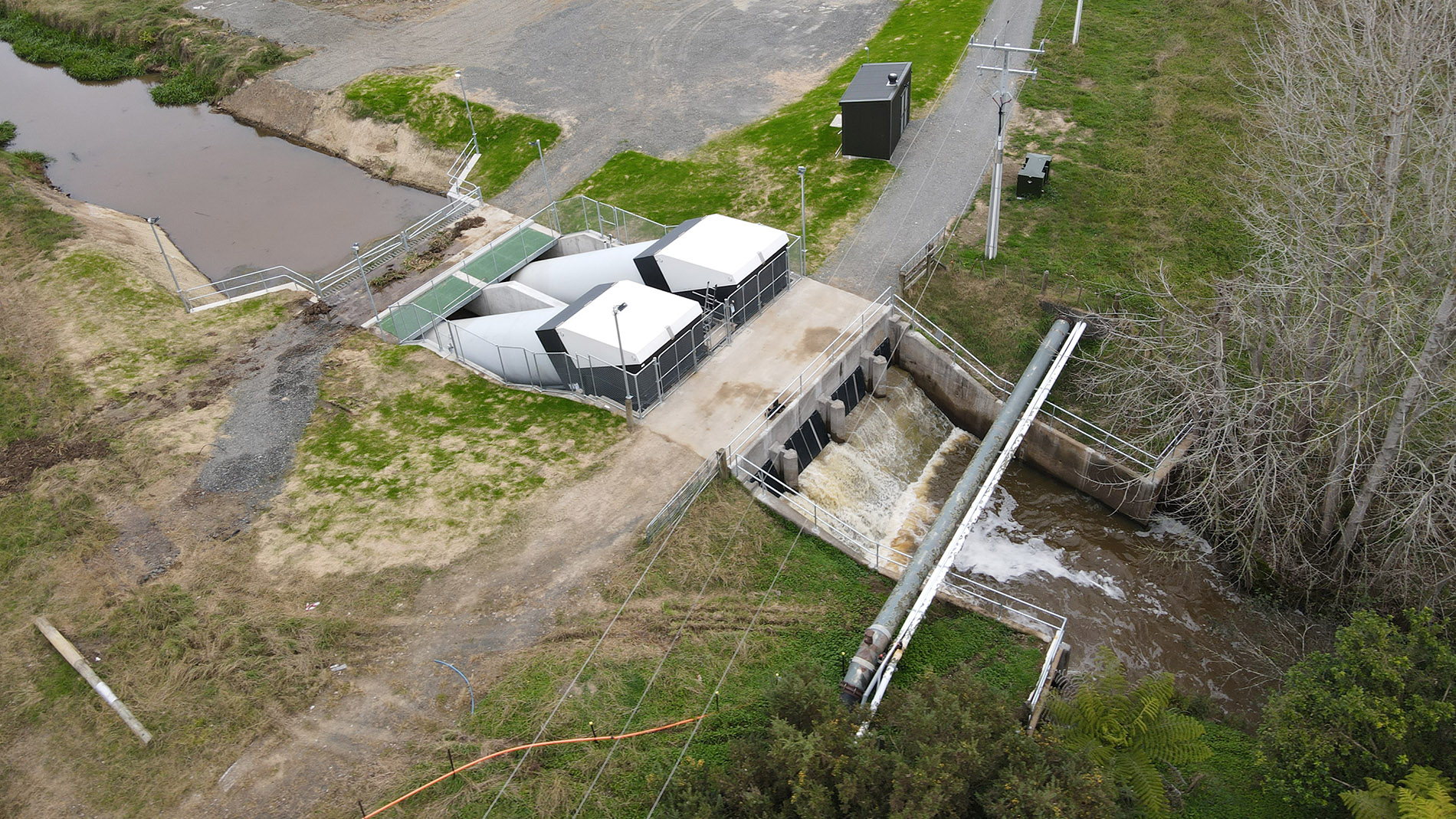
Flood protection schemes have assets that all work together to help control floodwaters.
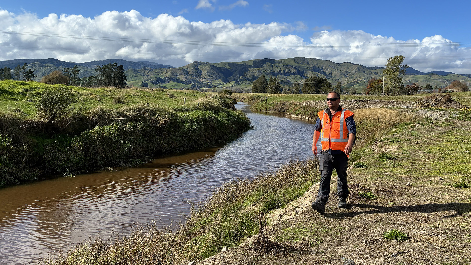
Protection and risk
Flood schemes don't stop all floods.
Each scheme is designed to protect against events up to certain levels. In the Waikato region, design standards range from protection against events of a 1% annual exceedance probability (AEP), more commonly spoken about as being a 1-in-100-year event, down to a 10% AEP, or a 1-in-10-year event.
 Our stopbanks are designed to protect against various levels of river or tidal flooding, from 10% AEP to 1% AEP, while floodgates, pump stations and drainage networks protecting productive farmland are designed to clear flooding from a 10% AEP rainfall event over three days. Pump stations protecting urban areas tend to be designed to clear flooding from a 2% AEP (1-in-50-year) rainfall event, but this is variable depending on what the community wanted when the schemes were commissioned.
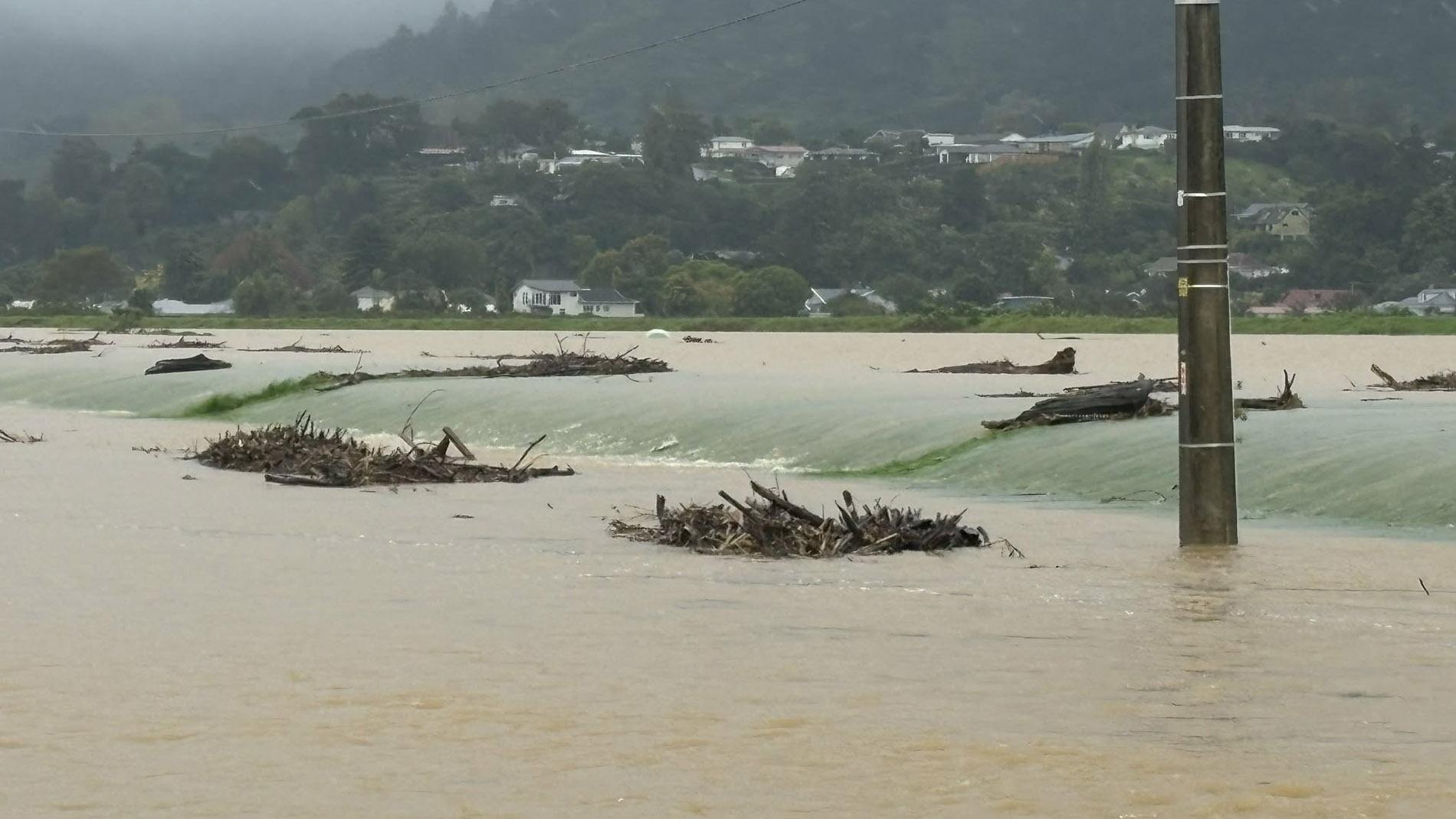
A scheme may fail if an event is bigger than its level of protection.
Levels of service
A level of service describes how a flood scheme should perform. Over time, different factors can impact how well a scheme works.
- Climate change brings more intense rainfall events or sea level rise.
- Land use changes, like urban development and farming, can increase runoff.
- When assets wear out, rising costs and new technical requirements can make upgrades and maintenance more complex and costly.
- Improved monitoring (rainfall, river levels and river flows), flood modelling and surveys show flooding risk is different than originally thought.
 To make sure our schemes are fit for purpose, we:
- conduct regular inspections and condition checks
- do routine maintenance to prevent small issues becoming major failures
- renew or upgrade assets when they reach the end of their useful life or aren’t performing as they should
- respond quickly during and after floods and storms to ensure schemes are operational and to repair damage
- undertake service level reviews as required, using the latest science and technology.
Is extreme weather becoming more frequent?
With all the heavy rain we’ve experienced in the Waikato region, many people are wondering whether extreme weather has become more frequent and intense. New analysis of rainfall data by Waikato Regional Council Senior Water Scientist Bevan Jenkins shows extreme rainfall events in some parts of the region have.
Read the full story
Water finds a way
By using 3D mapping, real time monitoring data, and the law of gravity, we can predict where water will go and when.
Read the full storyOur schemes
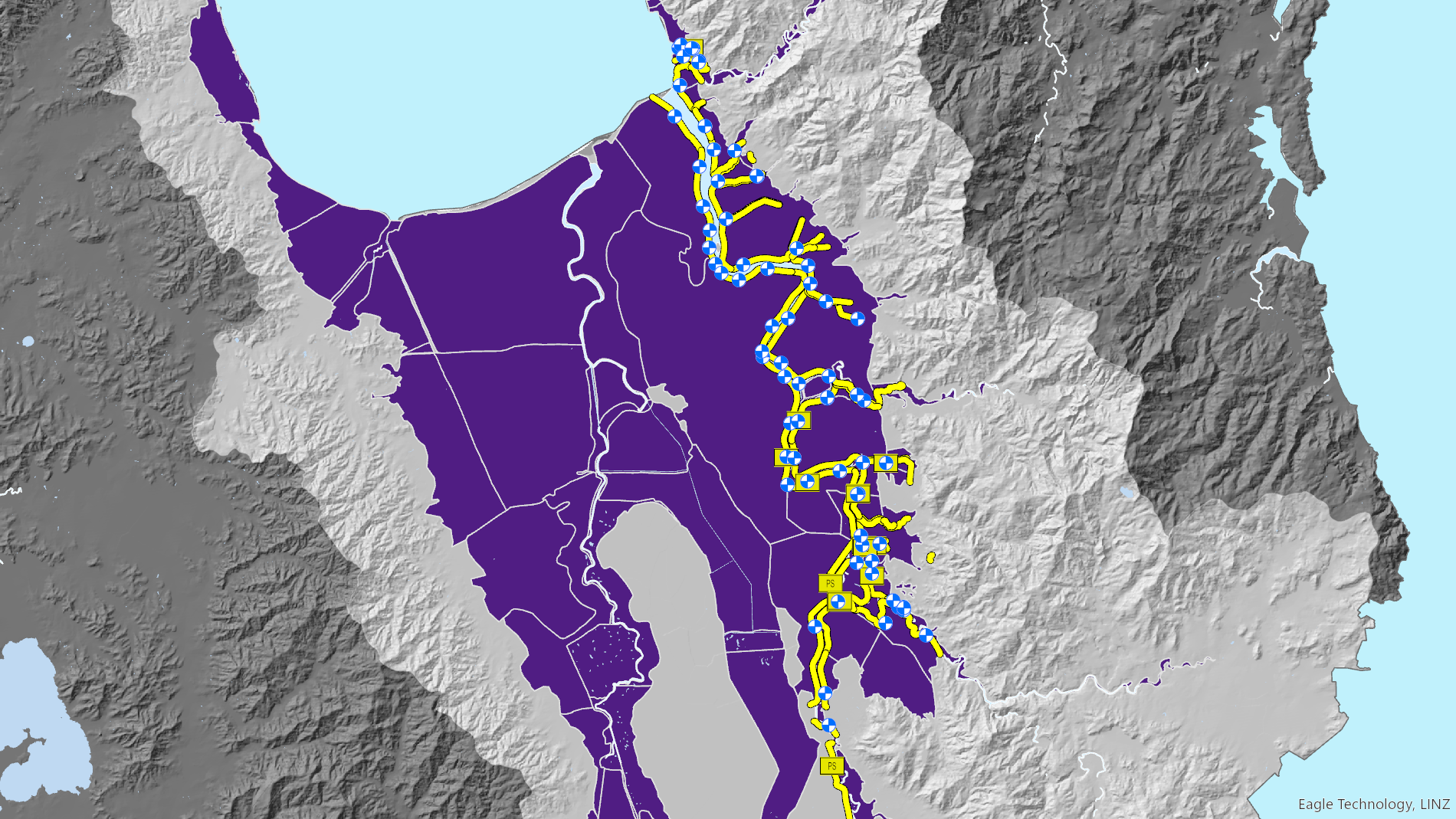
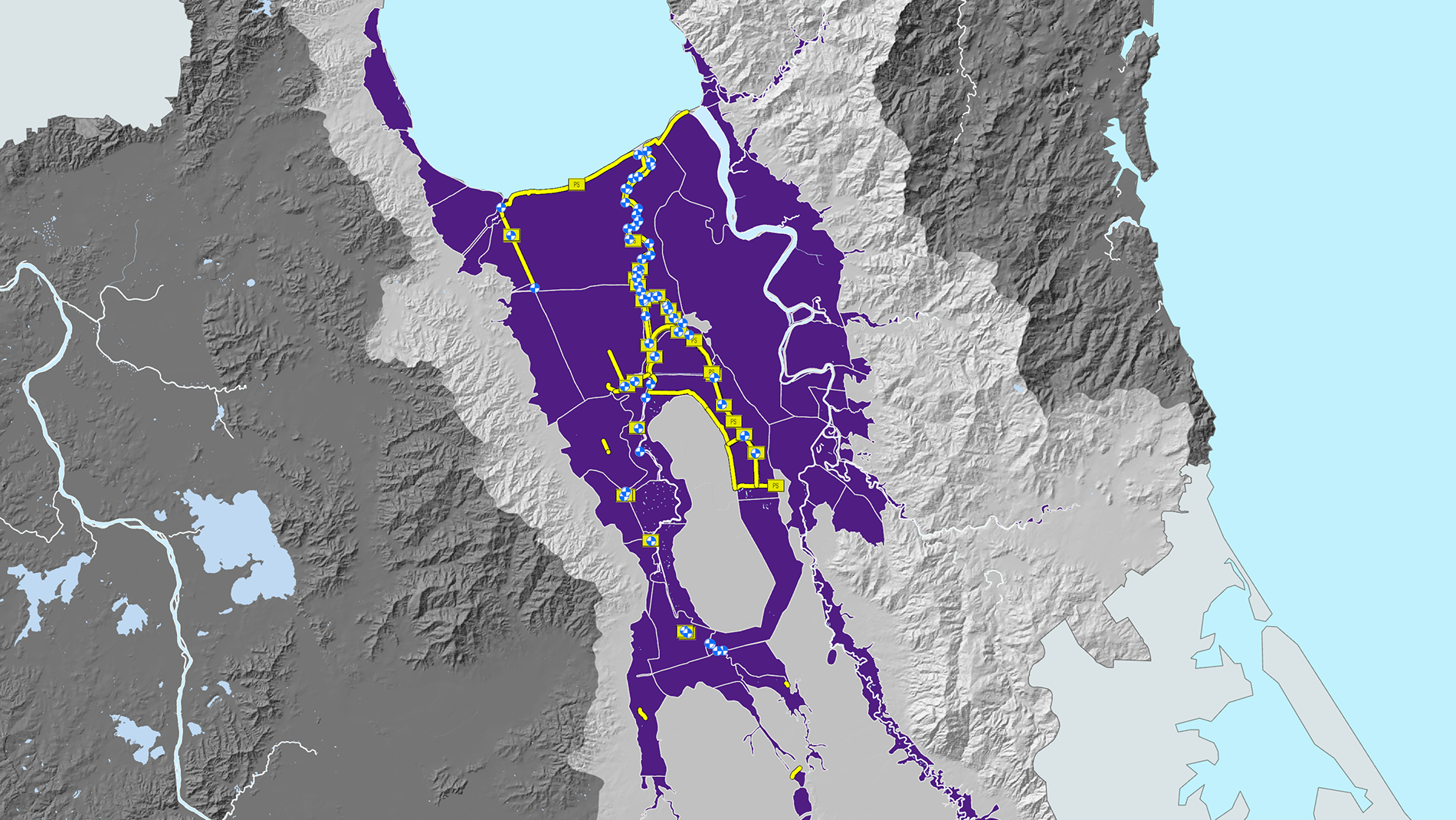
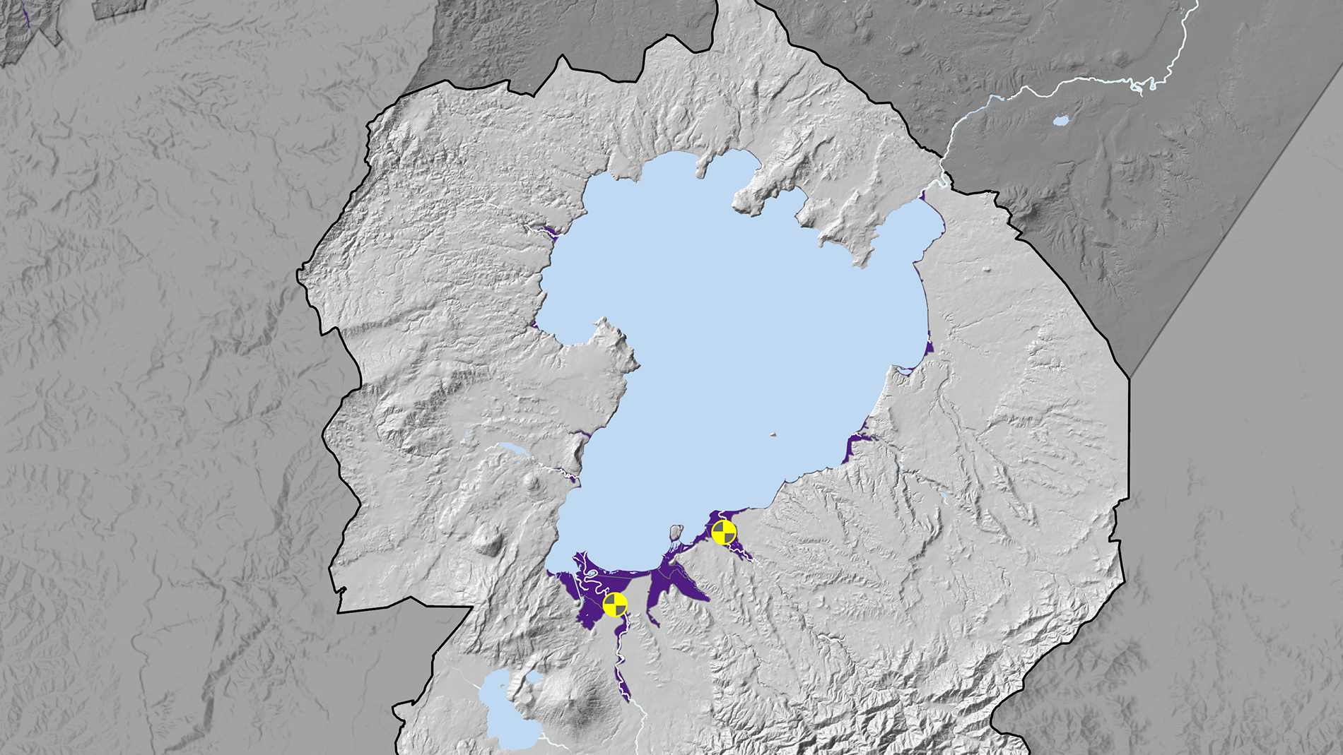
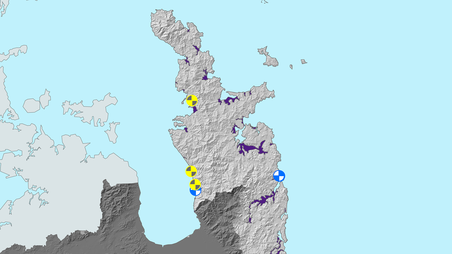
Waikato Regional Council manages and maintains flood schemes primarily for the benefit of local communities and landowners within the scheme areas.
Our schemes are locally funded, typically through targeted rates paid by those who benefit most – up to 85 per cent of the cost. Support comes from the general rate, usually 15 per cent, in recognition of regional benefit. There may be contributions from district councils or partners for locally beneficial projects, and from central government for major upgrades, resilience projects or disaster recovery.
Flood schemes in the Waikato region are found in the following areas.
Preparation is protection
What we do
Before flooding
When MetService issues severe weather watches or warnings that could cause flooding and impact our communities, we:
- track forecast and real-time river levels, rainfall totals and soil saturation to help assess how quickly rivers and streams may rise
- use flood and river models to anticipate where impacts may occur
- share this information with stakeholders, and with communities via our Flood Room web page and social media.
During flooding
- We continue to monitor the real-time data and assess the risks, providing this technical flood intelligence to Civil Defence, councils and other stakeholders to support emergency decisions.
- We actively monitor scheme assets and respond to issues as required to move water through the system as efficiently as possible. This includes:
- opening and closing floodgates to redirect or contain floodwaters
- running flood pumps to clear excess water
- checking and clearing channels and floodways of debris blockages
- monitoring stopbanks and spillways for overtopping.

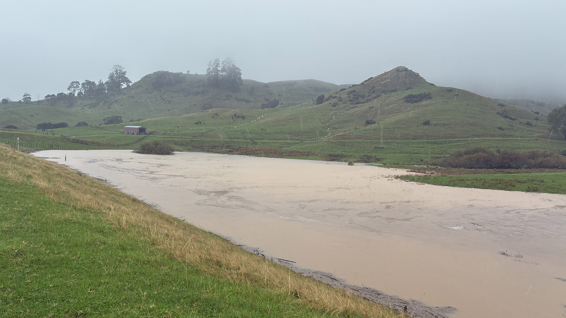
After flooding
We continue to monitor our flood schemes well after rain ends because:
- rivers may still be rising from water received in the upper catchment area
- channel and drainage systems take time to clear stored water.
Once it is safe to do so, we inspect all scheme assets and undertake repairs required for future event readiness. We check:
- stopbanks for slumping, cracking, seepage or erosion
- floodgates and pumps for mechanical or electrical performance
- drainage channels for siltation, scour, debris or bank collapse
- river channels for bed changes, erosion and debris dams.
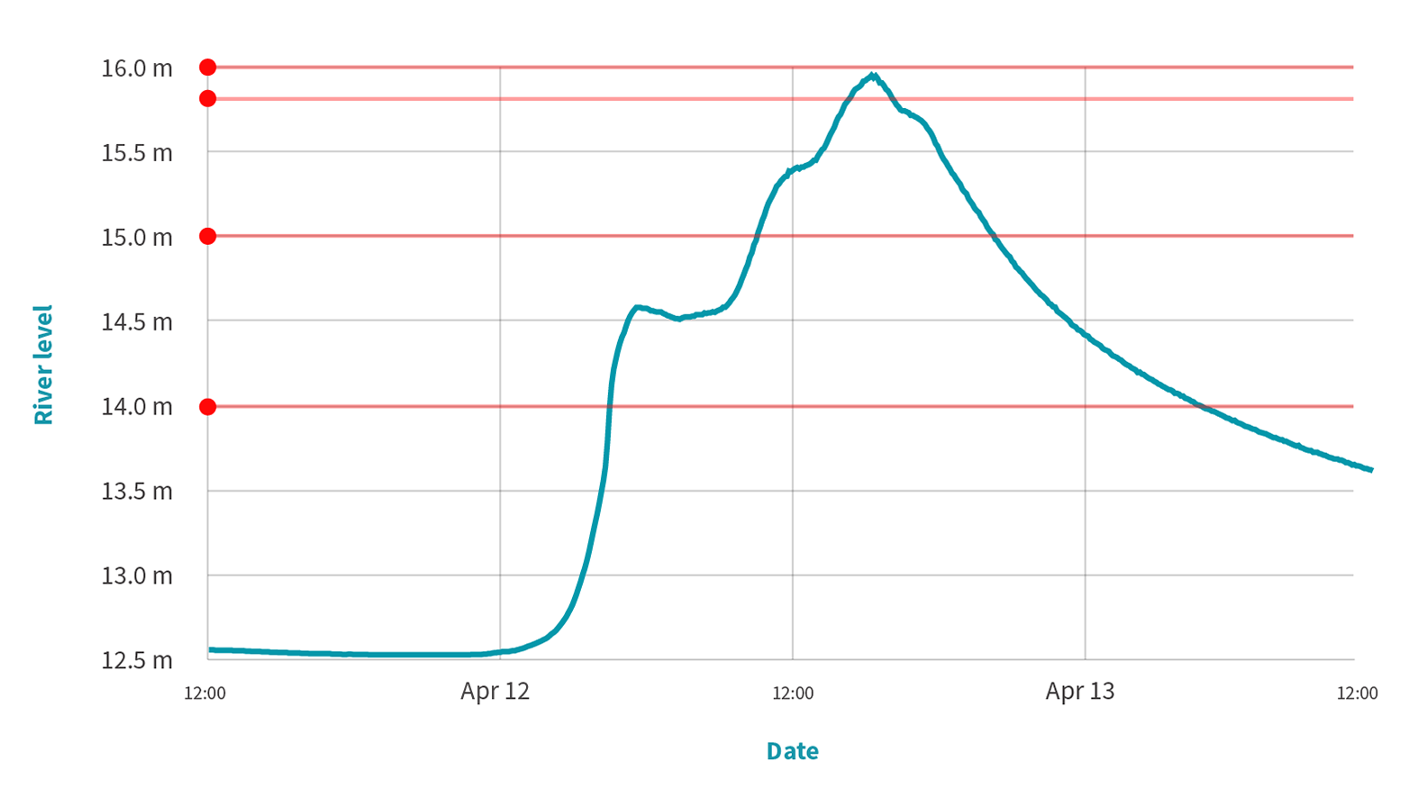
For example, our river level recorder for the Ohinemuri River at Karangahake Gorge has the following alerts: at river level 14m a flood response is activated; at river level 15m, agencies are informed so they can prepare for closure of the gorge; at river level 15.8m, the gorge is closed; and at river level 16m, the Criterion Bridge floodgates across SH26, at Paeroa, are closed.
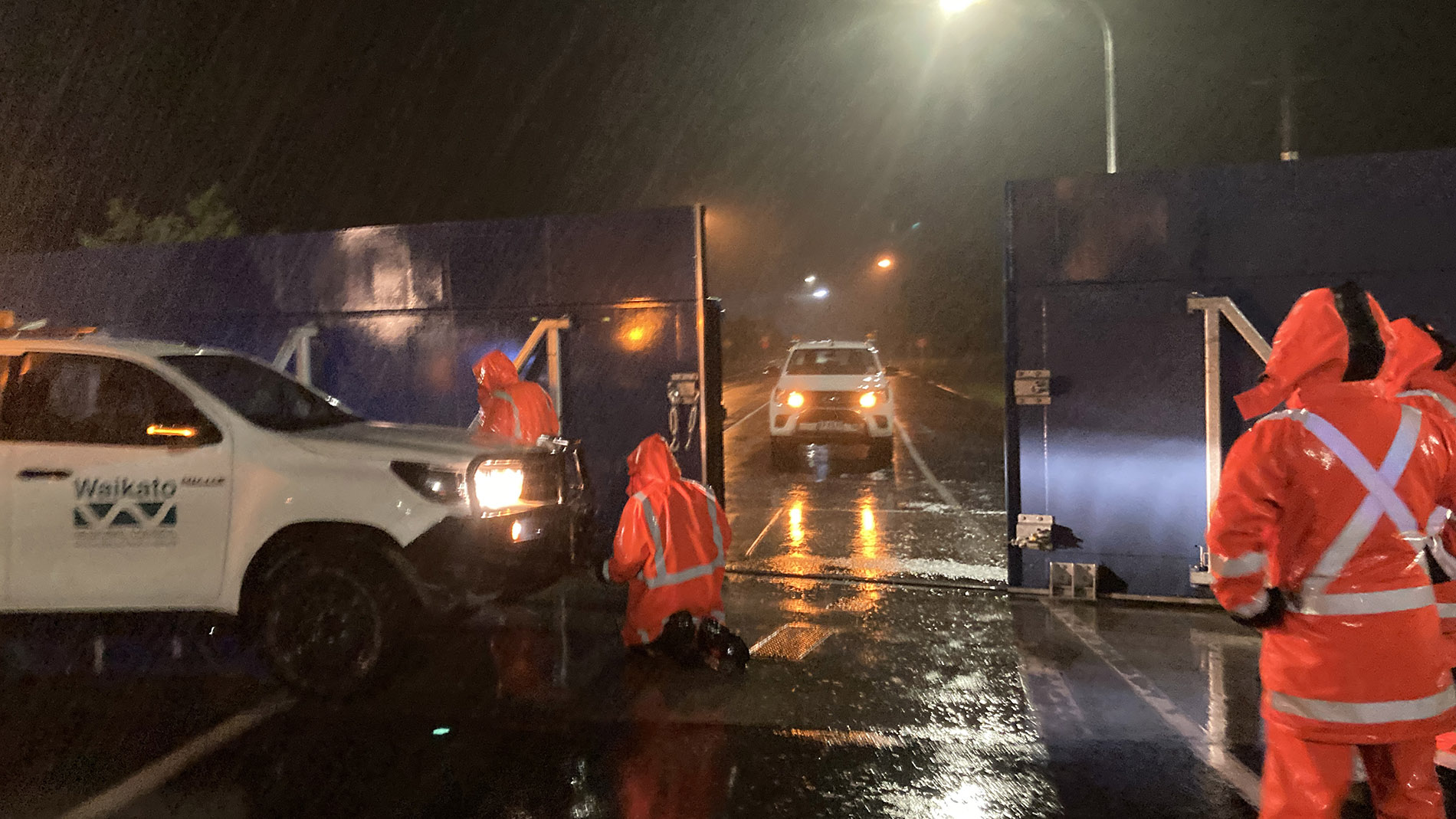
The Criterion Bridge floodgates in Paeroa are a purpose-built flood barrier rolled across State Highway 26 to contain the Ohinemuri River during flood.
What you can do

Find out if you live in a flood prone area.
- Get a land information memorandum (LIM) for your property from your district or city council. Any known hazards that may affect a property will be on a LIM report.
- Check your regional council rates bill to see if you are paying for flood protection and/or land drainage. If you are, there is a reason for that.
- Check out our Hazards Portal to learn where river flood hazard zones and our flood management assets are.
- Understand that stopbanks and flood schemes reduce risk but don’t eliminate it.
Hazards Portal
Our Hazards Portal is an interactive map with information about natural hazards in your area, so you can be informed and prepared. It includes information on river flooding, flood management and coastal inundation.
Check the Hazards Portal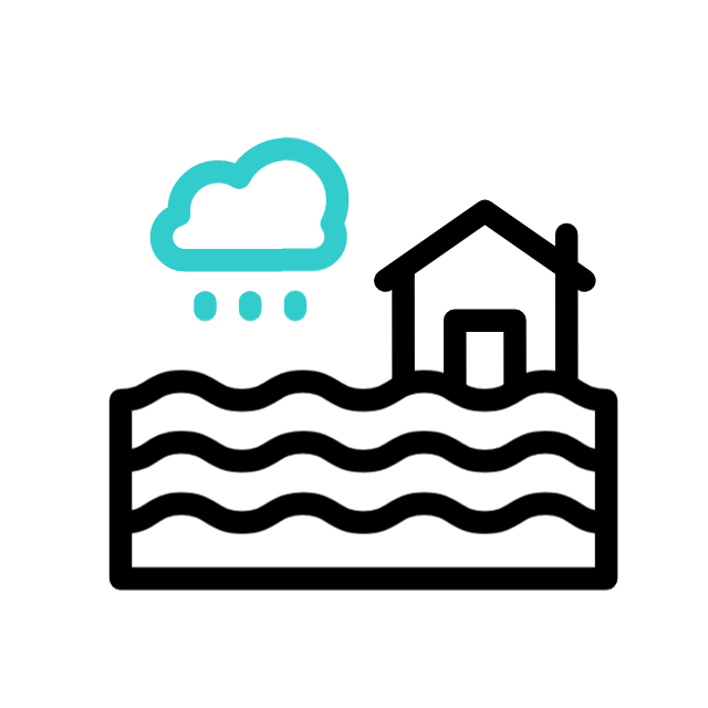
Live in a flood prone area?
- Keep assets and other structures away from flood prone areas to save yourself future insurance difficulties and damage to your property.
- Identify your closest high points for emergency evacuation, including for people, pets and livestock.
- Plant vegetation in rainwater runoff areas to stabilise the ground and help absorb water.
- If your safety, stock, livelihood or access to critical services could be affected by river flooding, sign up to our flood warning service to receive river level alerts relevant to your area.
- Follow Waikato Regional Council, Civil Defence and your local council’s channels for updates.
Flood warning alerts
Our flood warning system sends automated alerts activated by heavy rainfall and rising river levels at over 50 automated recording sites. We can send you river level alerts relevant to your area.
Request sign-up for this serviceUnderstanding flood risk helps individuals, families and communities plan, prepare, and recover faster when flooding happens.
Learn more
Learn more about flood protection and risk management. Select a topic below.