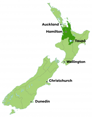
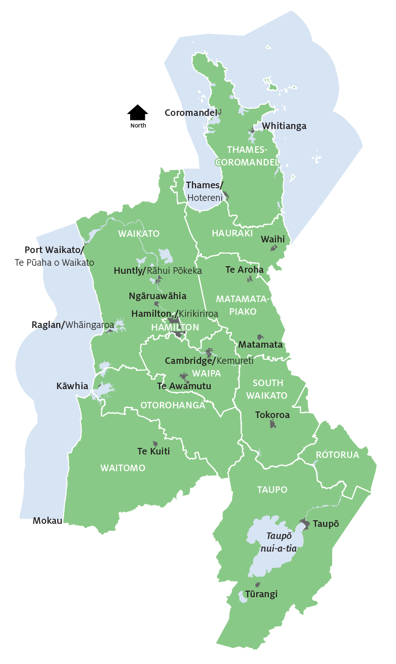
The natural environment of the Waikato region is made up of diverse landscapes, plants and animals.
Landscapes
The region’s landscapes include flat floodplains, rolling hills, mountain ranges and steep volcanoes. There are four four distinct topographical areas, characterised by our different landscapes:
- Taupō volcanic zone
- Waikato lowlands and Hauraki Plains
- Western and central hill country
- Eastern Ranges.
Much has changed since people have settled here, and very little of our native vegetation and once extensive wetlands remain. Only a few beaches are undeveloped and coastal subdivision for housing and holiday homes continues to put pressure on our coasts' natural character.
Biodiversity
New Zealand has an unusually high number of species that are found naturally nowhere else in the world. More than 90 per cent of freshwater fish and insects, 65 per cent of plants and 57 per cent of land birds are found native to our country, and many are endangered. Some of these species are only found in the Waikato region, such as the giant cane rush (Sporadanthus ferrugineus) which is found only in Waikato wetlands.
In addition, some 6,000 exotic species have ‘escaped’ or been released into the New Zealand countryside.
Ecosystems
Ecosystems are made up of animals, plants, fungi, bacteria and other micro-organisms (biodiversity) and the soil, land, air and water they habitat (physical environment).
Just as the human body 'system' relies on the circulation of blood and oxygen and the conversion of food to energy, an ecosystem relies on the circulation of water, gases (oxygen, carbon dioxide), nutrients (nitrogen, phosphorus) and energy (sunlight, food).
Ecosystems are our ‘natural capital’, and provide us with valuable goods (food, water, oxygen), services (flood control, nutrient cycling) and experiences (recreation, aesthetics and spiritual values).
The Waikato region's ecosystems result from our diverse landscapes, climate and the effects of human settlement and resource use. Today, our ecosystems are dominated by species introduced to New Zealand. We have rolling rye grass/ clover pastoral ecosystems in the north. Extensive pine plantations cover the volcanic plateau.
Our remaining native ecosystems are precious, and include:
- hill country forests and scrub
- small remnants of lowland forest
- wetlands
- waterways
- lakes
- coasts
- alpine areas.
Caring for our enviroment
Waikato Regional Council uses an ecosystem approach when managing the environment. This means it's our job to:
- understand the natural processes that support life
- understand the links between air, water, land and all living things (including humans)
- be aware of the links between environmental, economic, social and cultural values and concerns and
- work with other resource managers, resource users, land owners, and communities.
We collect a wide range of data and scientific information on land, water, soil, plants and animals, and social, economic and cultural information. We develop policies and rules around use of the environment, and process and monitor related resource consents. We provide environmental education and resources. We help local care groups protect and enhance our lakes, streams, rivers, land and beaches.
We all need to understand that the way we live, how we use our land, what we buy and use affects how healthy our environment is. In turn, everything we do - building towns, turning forests into farms, using cars - depends on a healthy environment: clean water, clean air, healthy soil and a variety of life forms.
It’s easy to use nature’s resources to suit our short term needs. But to have a healthy environment in the long term, we need to be prepared change the way we do things now and in the future.