Protecting people, properties and infrastructure from floods
Waikato Regional Council manages flood protection under legislation such as the Soil Conservation and Rivers Control Act and the Public Works Act.
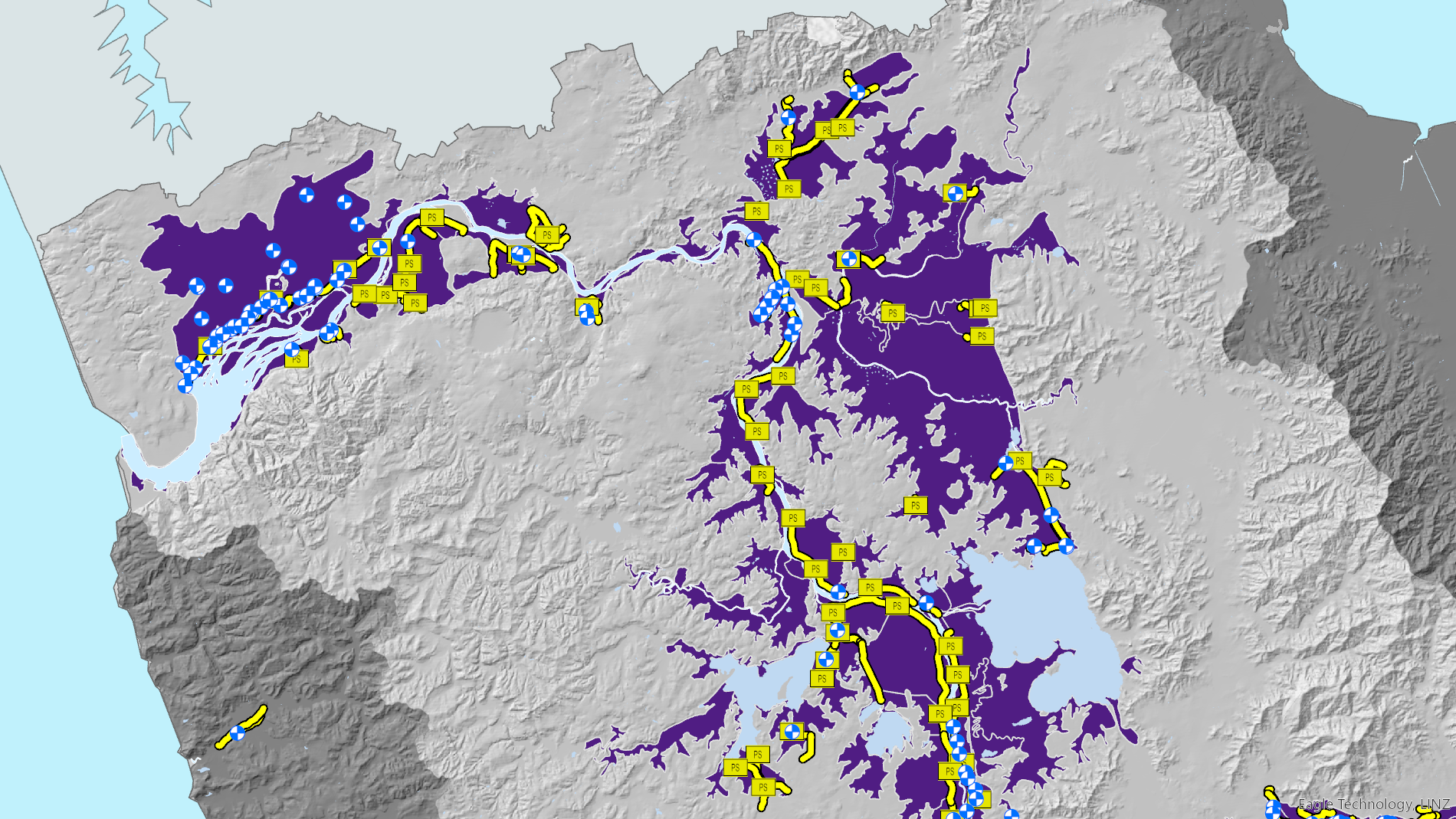
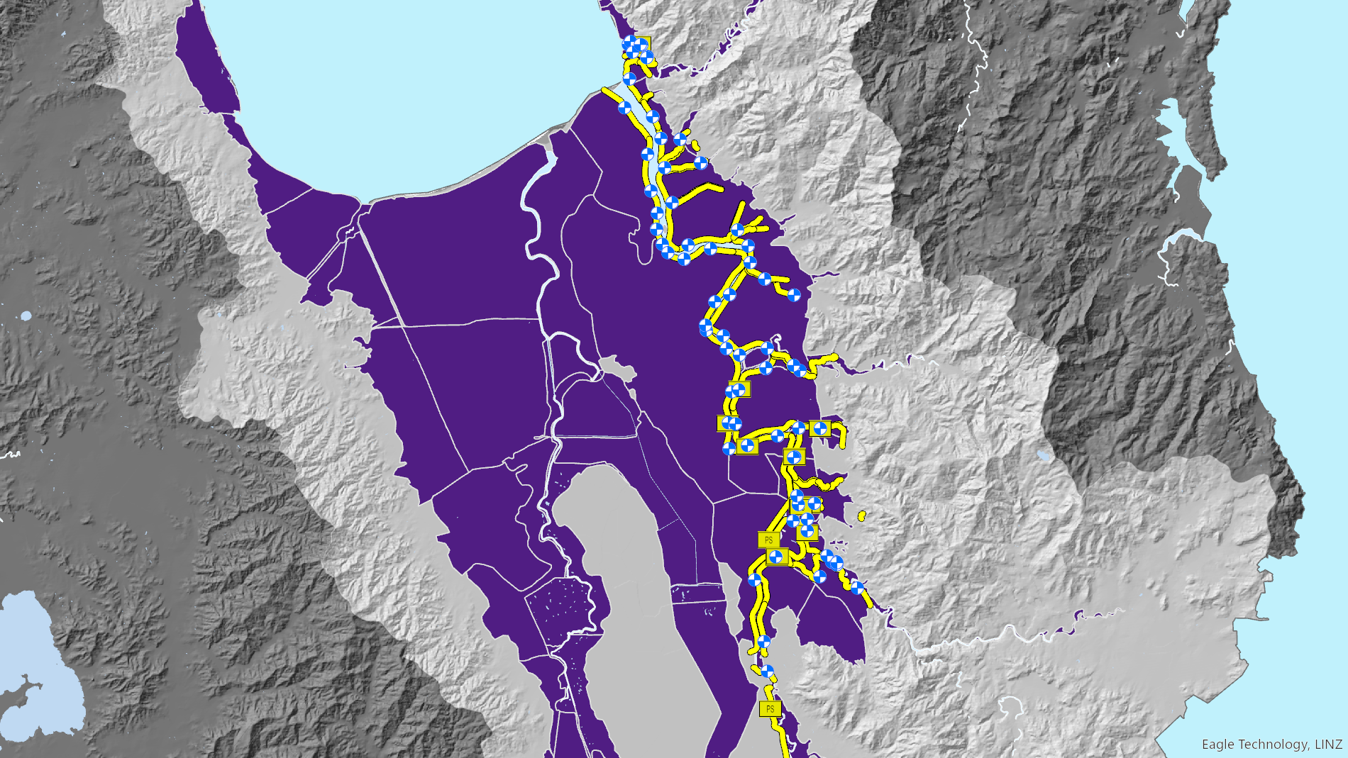
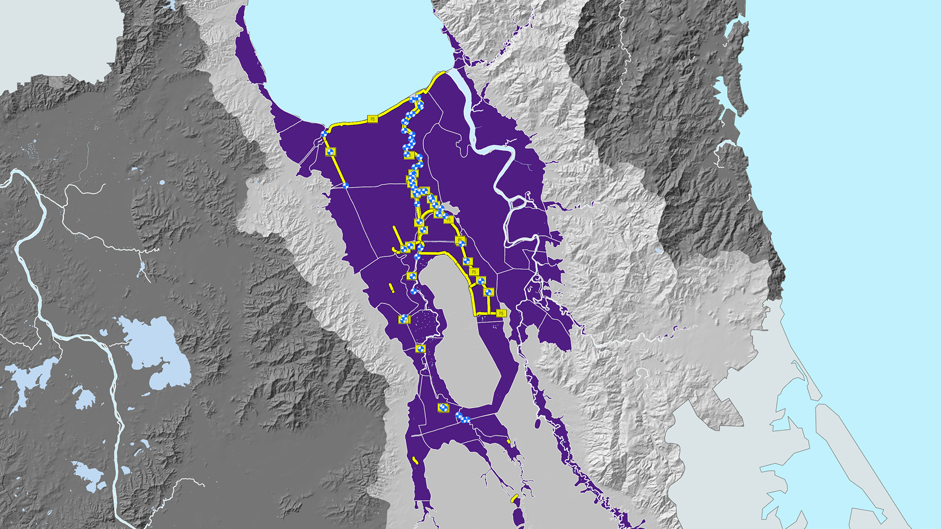
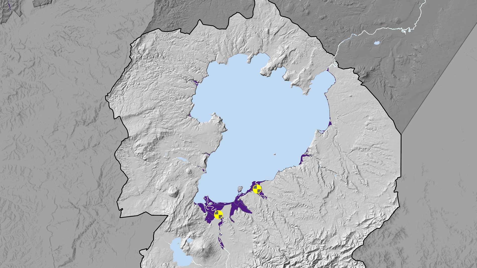
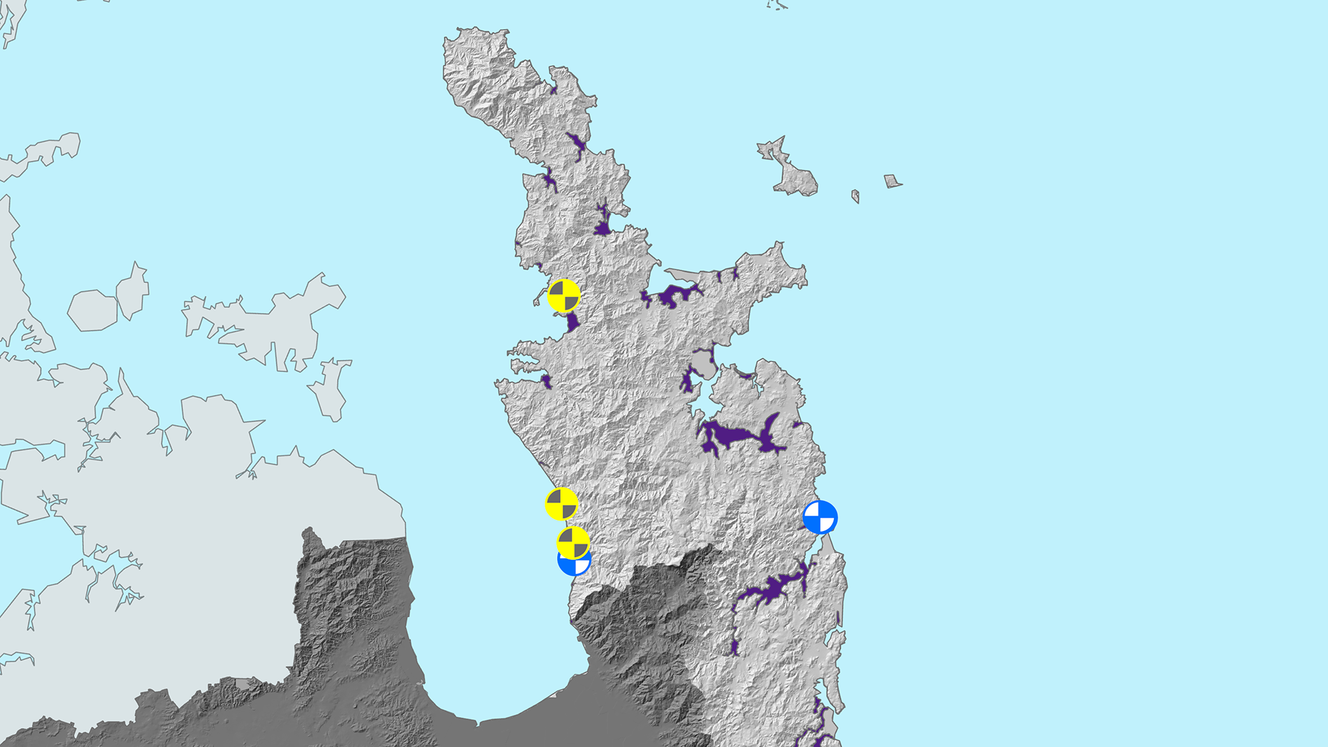
The Waikato region has 20 large rivers and about 1400 small river systems, so flooding is an issue in many areas. Flooding happens when rivers and streams cannot cope with heavy rainfall.
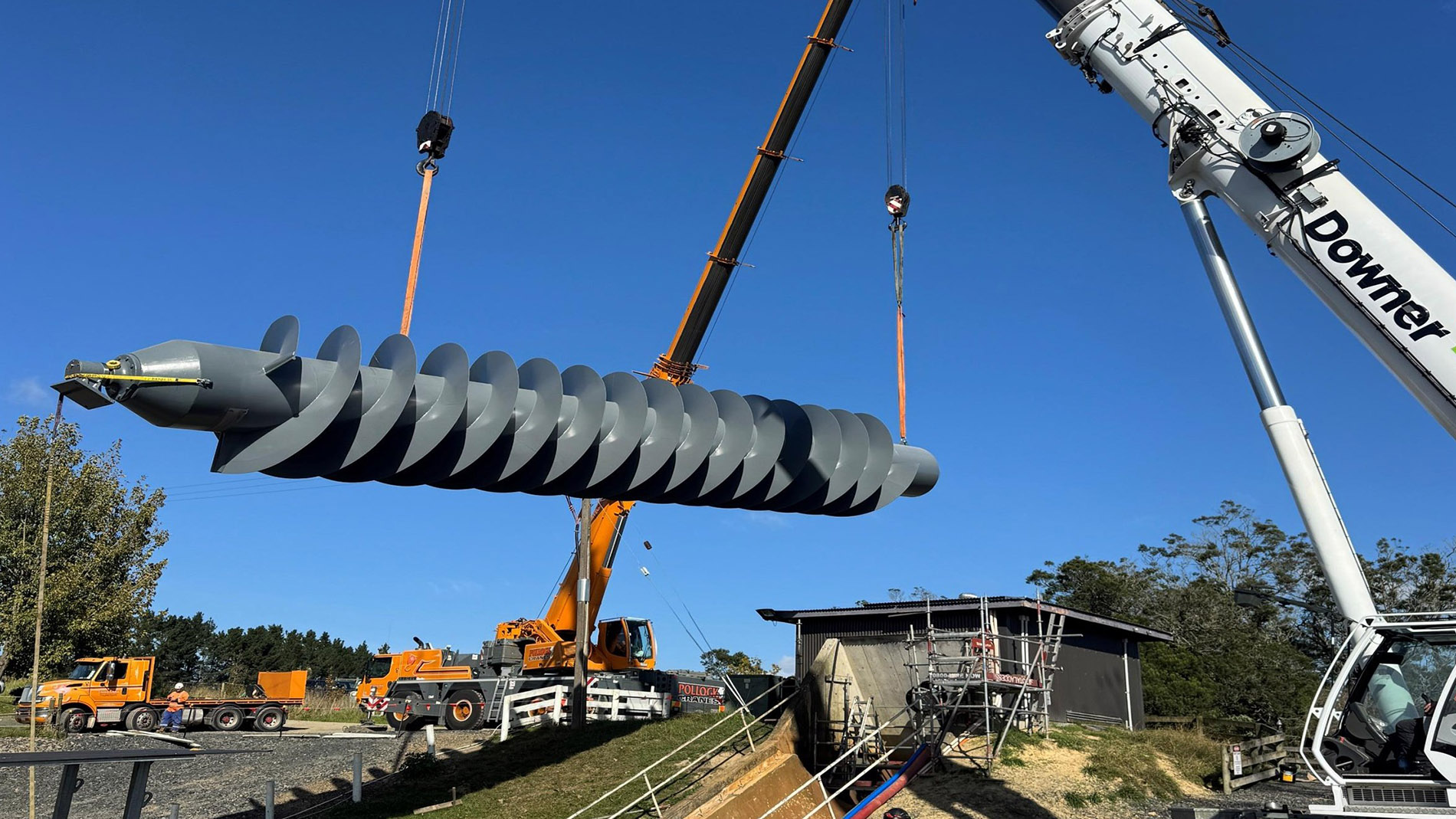
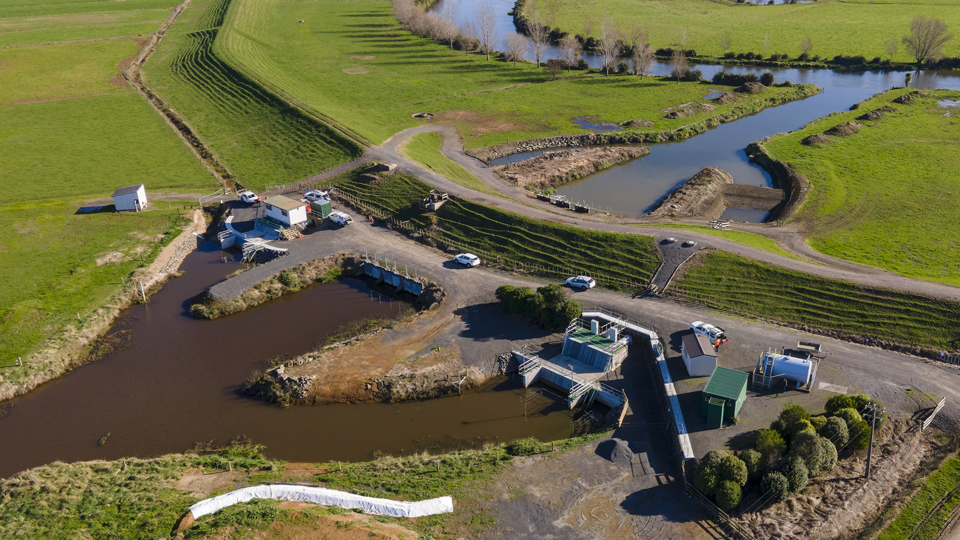
We manage multi-million-dollar flood protection schemes made up of stopbanks, floodgates, pumpstations, spillways and channels that help protect communities, farms, roads and critical infrastructure.
We also manage and maintain more than 84 land drainage areas in the Waikato region, mostly in low-lying rural areas such as the Hauraki Plains and lower Waikato River catchment, to help remove ponded water after heavy rainfall.
These schemes are supported by river management activities that help mitigate flood and erosion risk and improve how rivers store and move water, which reduces damage during high rainfall events.
Flood protection is mostly paid for by targeted rates on the people and communities who directly benefit from it, with some wider support.
This support comes from the general rate (usually around 15 per cent, recognising regional benefit), along with project contributions from our partners, including central government.
Did you know?
- The replacement value of our extensive flood protection infrastructure is $1.1 billion.
- 300,000 hectares of land benefits from our flood protection infrastructure.
- Our regional economy is boosted by $2.2 billion due to being able to use this land productively.
- Several key “golden triangle” transport corridors are more resilient because of our flood protection infrastructure, including State Highway 1, State Highway 2, State Highway 25, State Highway 26, State Highway 27 and the main trunk railway.
- The council estimates it will cost $2.9 billion over the next 50 years to operate, maintain and renew our flood protection infrastructure.